CSUN Logo
California State University Northridge

Project Overview

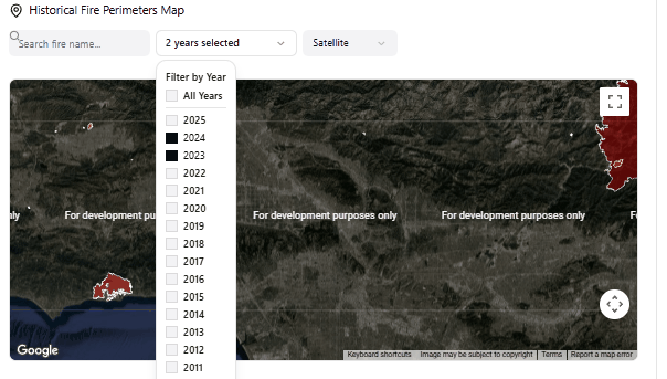
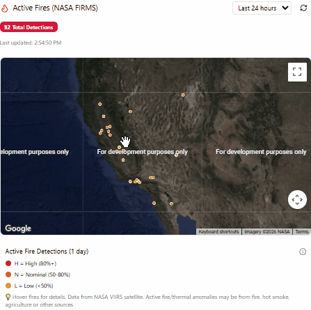
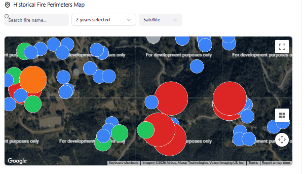
This project is a wildfire risk tool built by CSUN Computer Science students. It pulls together real data like current weather, how dry the land is, and where fires have burned before and uses that to show you where wildfires are most likely to start across California.

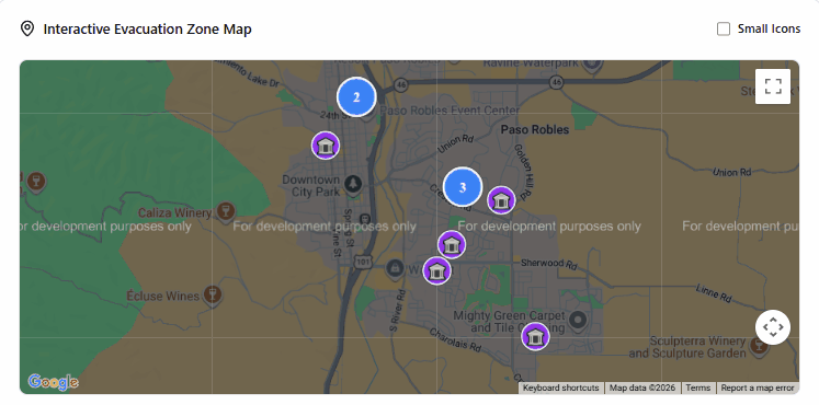
Whether you live near fire-prone areas, work in emergency response, or just want to stay informed this tool is for you. Browse a live map, check fire risk for any spot in California, set personal alerts, and see active fires all in one place.

Wildfire risk map visualization

What Can It Do?

  • Live Fire Map

    An interactive map of California that shows you where fire risk is high right now. You can filter by date and zoom into any area to see what's going on.

  • Fire Risk Score

    Our system calculates a fire risk score for any location using weather conditions, how dry the plants and soil are, the terrain, and past fire history. Think of it like a weather forecast, but for wildfire danger.

  • Alerts & Notifications

    Set your own alert level and get notified when fire risk in your area gets too high. No more constantly checking we'll let you know when it matters.

  • Always Up-to-Date Data

    The system automatically pulls in the latest weather reports, satellite data, and fire records on a regular schedule so the information you see is always fresh.

  • Easy-to-Read Charts & Visuals

    Complex fire and weather data is turned into simple charts and color-coded maps so anyone can understand what's happening at a glance no science degree needed.

  • Behind the Scenes Controls

    Our team can manage the system behind the scenes updating data sources, managing user accounts, and keeping everything running smoothly.

How We Built It

Here's a look at the tools and programming languages our team used to build this project.

  • Frontend React · TypeScript
  • Backend Flask · Python
  • GIS Leaflet · deck.gl
  • ML scikit-learn
  • Database PostgreSQL

Tools & Technologies Used

Skills Our Team Used

Building Websites & Apps Teaching Computers to Predict Working with Map & Location Data Connecting App to Data Sources Interactive Map Design Collecting & Cleaning Data Organizing & Storing Data Training the Fire Risk Predictor React + TypeScript Python & Flask Packaging the App for Deployment Planning & Designing the System Teamwork & Sprint Planning Testing & Bug Fixing User Login & Security Live Alerts & Notifications Calculating Fire Danger Scores Finding & Fixing Problems

See It In Action

Here's what the app actually looks like when you use it.

Historical Fire Perimeters Map
Historical Fire Perimeters
Browse decades of California wildfire boundaries, filter by year, and see fire size color-coded on a satellite map.
Interactive Evacuation Zone Map
Evacuation Shelter Map
Find the nearest FEMA-registered shelter with clustering, click-to-detail, and a small dots mode for statewide density view.
Active Fires NASA FIRMS
Active Fires — NASA FIRMS
Real-time fire detections from NASA's VIIRS satellite, color-coded by confidence level and sized by fire intensity.
Structure Damage DINS Layer
Structure Damage Layer
CAL FIRE post-fire inspection data showing every assessed structure, color-coded from destroyed to no damage.

Watch the Demo

See the full app in action in this short 3–5 minute video walkthrough.

System Architecture

How the platform is structured and how data flows through the system.

Frontend
React + TypeScript + Vite
Dashboard Fire Map Evacuation Map History Map Alerts Admin Panel
Backend
Flask + Python (Render)
Auth API Risk Prediction API Notifications API User Data API
ML Model
scikit-learn
Fire Risk Score Weather + Terrain
Database
PostgreSQL (Render)
Users Saved Locations Alerts
External APIs
Free & Open Data
NASA FIRMS Open-Meteo CAL FIRE GIS FEMA Shelters

Meet the Team

We're five Computer Science students from CSUN who built this together from scratch.

Ivan Lopez

Ivan Lopez

Frontend Development & Data Visualization

Ivan led all frontend map development, building the interactive fire perimeter history, CAL FIRE structure damage, FEMA evacuation shelter, and NASA FIRMS active fire layers. He optimized rendering performance across all map components and integrated real geospatial datasets into the live platform.

Ido Cohen

Ido Cohen

Database Design & Data Management

Ido designed and managed the project database, handling data modeling, schema design, and data pipelines that power the platform's backend. He ensured data integrity and efficient storage for user accounts, saved locations, and application state.

Sannia Jean

Sannia Jean

Machine Learning & Data Analysis

Sannia built the machine learning model that calculates wildfire risk scores for any location in California. She sourced, cleaned, and processed fire, weather, and terrain datasets, and trained the prediction model that powers the risk assessment feature.

Alex Hernandez-Abrego

Alex Hernandez-Abrego

Authentication & UI Support

Alex implemented the user authentication system including login, registration, and session management. He also contributed to UI components and frontend integration, helping connect the interface to backend services.

Tony Song

Tony Song

Backend Development & Integration

Tony built the backend API and notification infrastructure using Flask and Python. He developed the endpoints for user data, alert preferences, and system notifications, and integrated the backend with the machine learning prediction pipeline.